
My theme this year for the 2020 A to Z Challenge is Natural Texas.
“Blackland Prairies”
The map below shows the ecoregions of Texas, including the Blackland Prairies ecoregion shown in the dark orange. This ecoregion extends from the Red River border of the state all the way down to past San Antonio. Being prairie lands before cities and roads were built, this region was probably a natural corridor and is why Interstate Hwy 35 is located following this path.

The Blackland Prairies at one time covered approximately 12 million acres, all with tall grasses such as big bluestem, little bluestem, switchgrass, and other similar plants. Today, sadly, there is only about 5,000 acres of undisturbed prairie remaining. Some of the land was used for hay and can be restored with effort.
This land is generally rolling to level and varies in elevation from 300 to 800 feet. Normal rainfall is approximately 28 to 40 inches, but right now in the Dallas/Ft. Worth area, rainfall is about 3 inches above normal. A network of rivers and streams result in rapid surface drainage.
The soils in the Blackland prairies are dark and clayey. Often, these soils are referred to as “black gumbo.” At one time (Cretaceous age), this area of Texas was covered by a shallow sea. Over 100 million years, decaying organic matter has resulted in this rich black soil.
Like most ecoregions of Texas, this area supports a wide variety of vegetation, birds, mammals, amphibians, and reptiles. Human intervention is the reason so much prairie land has been lost due to farming, ranching, and development. Now, the continuing urban sprawl is encroaching on more and more prairie land.
Take a look at a healthy Texas prairie that has been little disturbed:

Note the varied species of grasses and wildflowers.


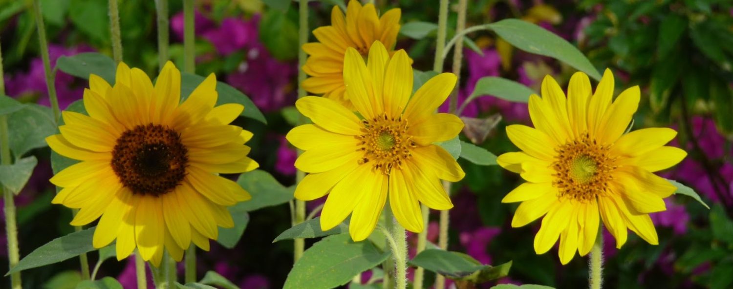
Below is a fine example of Gaillardia pulchella, better know as firewheel wildflower.


Sadly, this beautiful prairie no longer exists. It was bulldozed over recently to make room for warehouses in my hometown of Mesquite, Texas.

Great blog Denise. I love maps, so it’s no surprise that I love your Eco-region maps. I also like the idea you mentioned that at one time the region was covered by a shallow sea and that’s what accounted for the soil conditions- basic, but sometimes forgotten. One more thing I liked (if I may), is the idea that this corridor would make a natural path for the modern highway-also sometimes forgotten. Zulu Delta
Thanks, ZD!! I really appreciate your comments!
Really interesting, Denise.
Love the pictures of the region. Hate to see that solar panels and huge solar facilities are going to cover a vast area of the Blackland Prairie. There will be no coming back from that. This is the name of progress and our State Ag Commissioner is OK with that! He says there are many other acres in Texas to farm. This is the best farmland in the state.